Guillaume Leguen.xyz
Facilitateur et médiateur pour l'éducation à l'environnement
Mes valeurs
Faire ensemble
Parce que je suis attaché à un apprentissage qui passe par le "faire", je cherche à permettre à tout type de publics de pouvoir s'impliquer avec les mains à des projets qui bénéficient au collectif et à l'environnement.
Environnement
Sensible à la place que nous prenons au sein de notre planète, mes actions se destinent toutes à faciliter son questionnement.
Open source
Parce qu'on ne peut pas continuer à privatiser les innovations vertueuses pour l'environnement et pour le vivre ensemble. Je défends, l'accessibilité et la reproductibilité des projets sur lesquels je travaille.
Mes offres
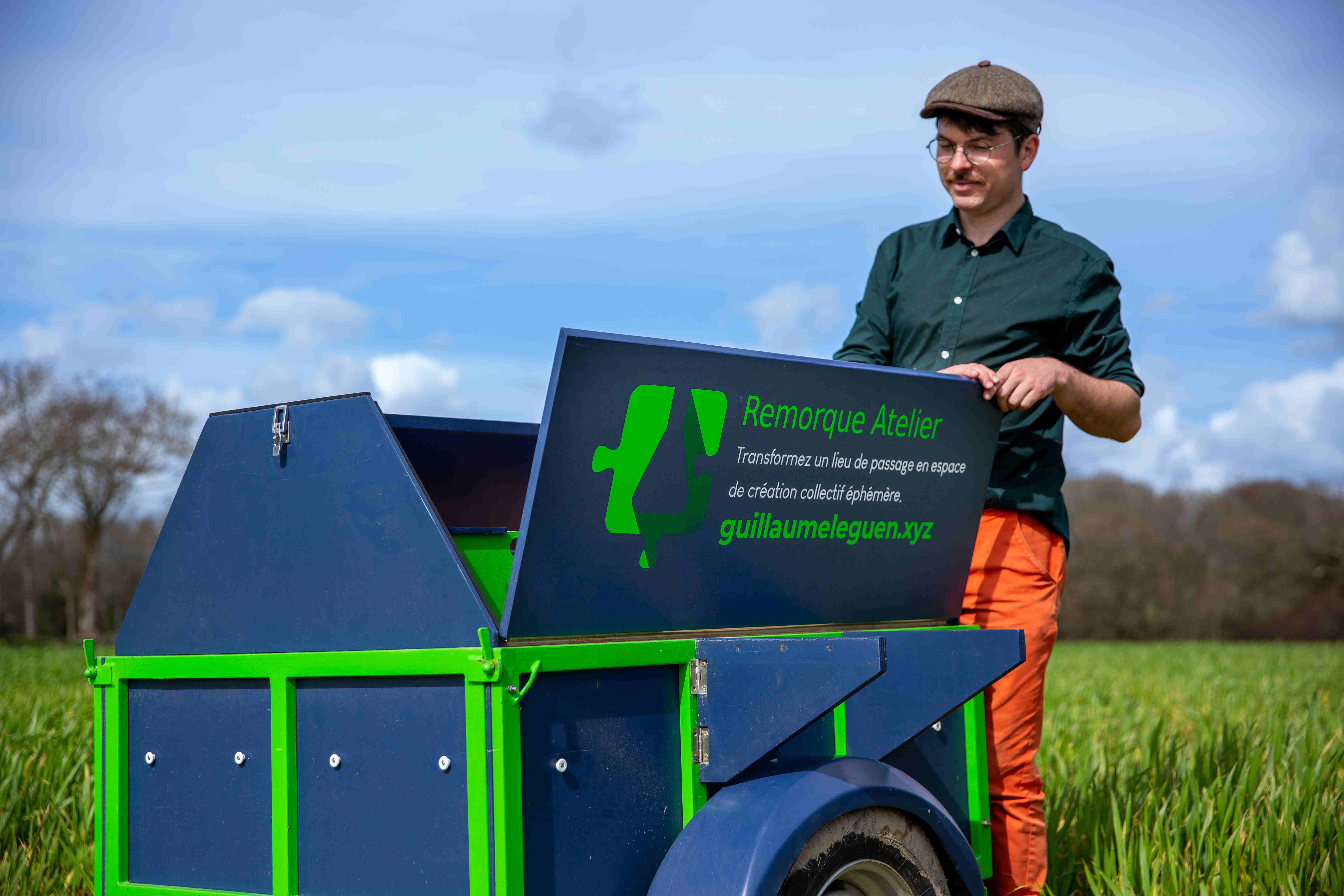
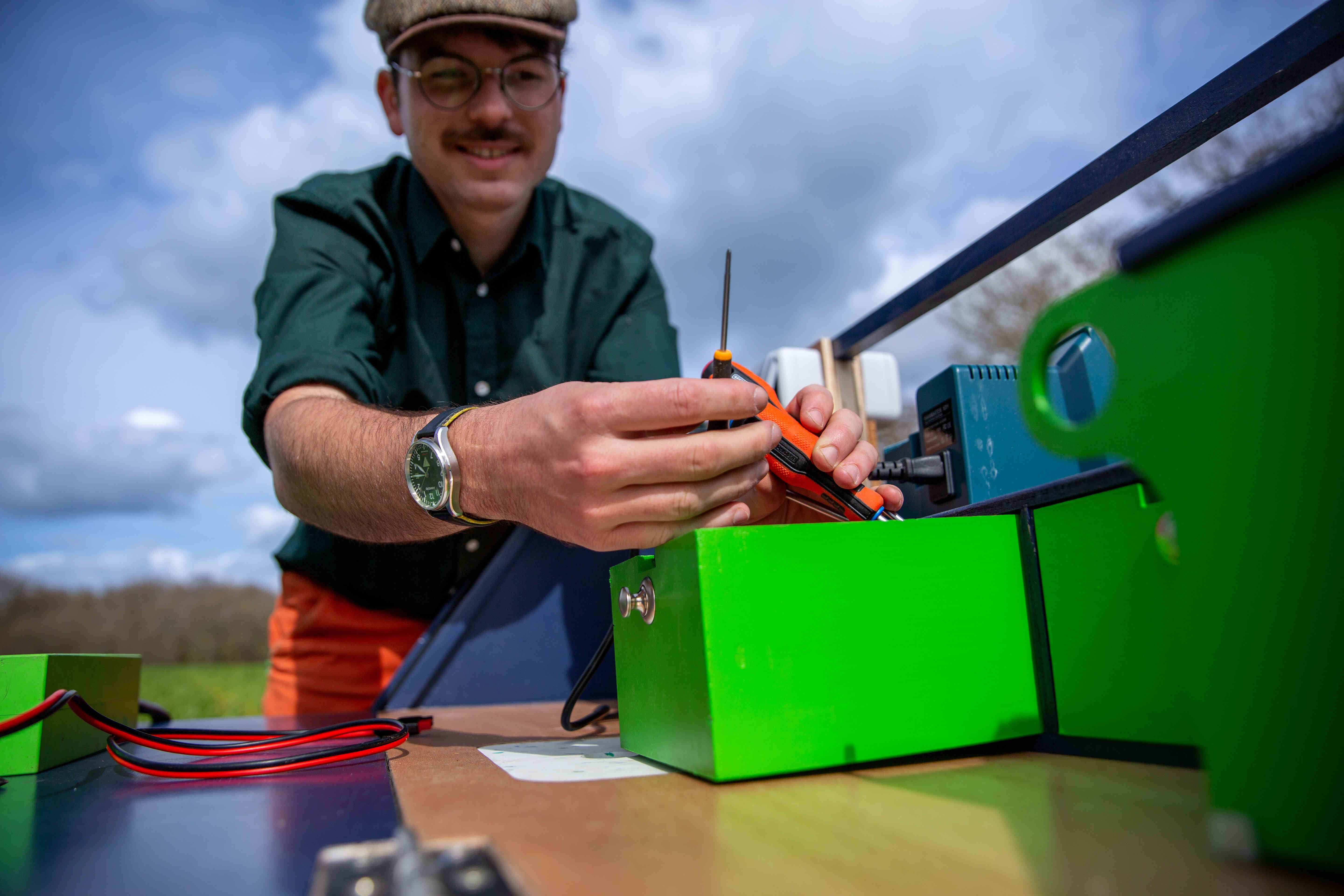
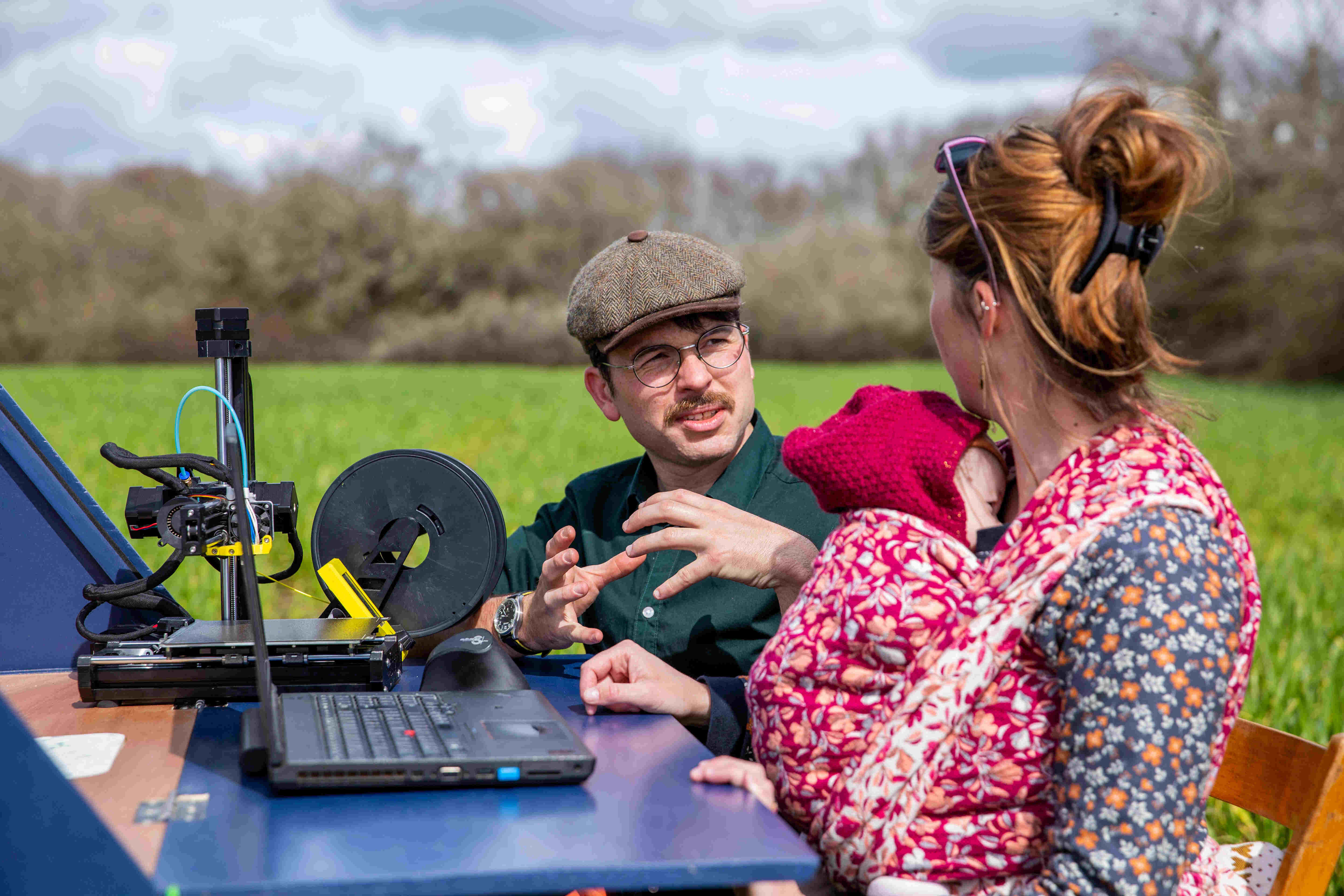
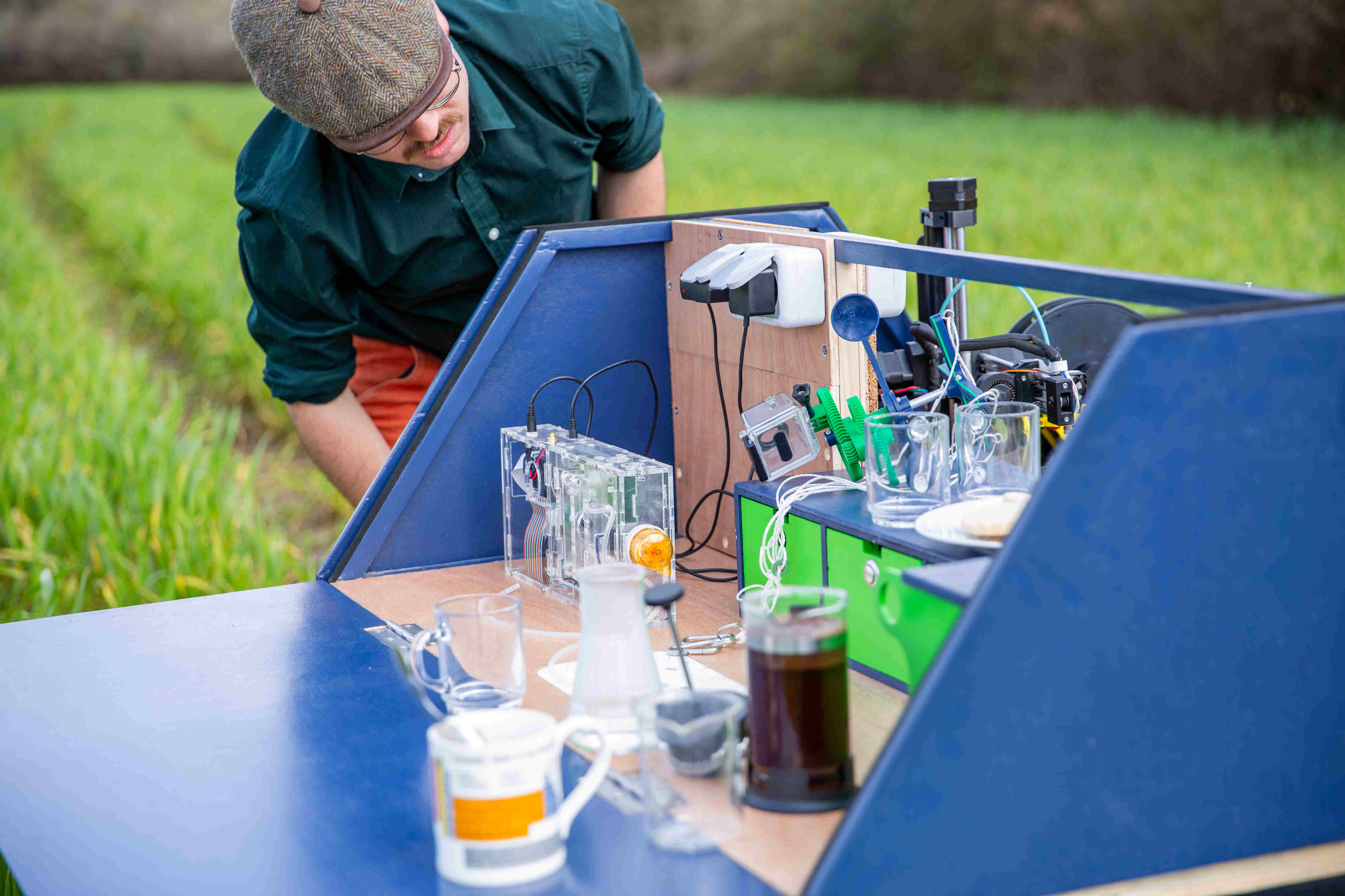
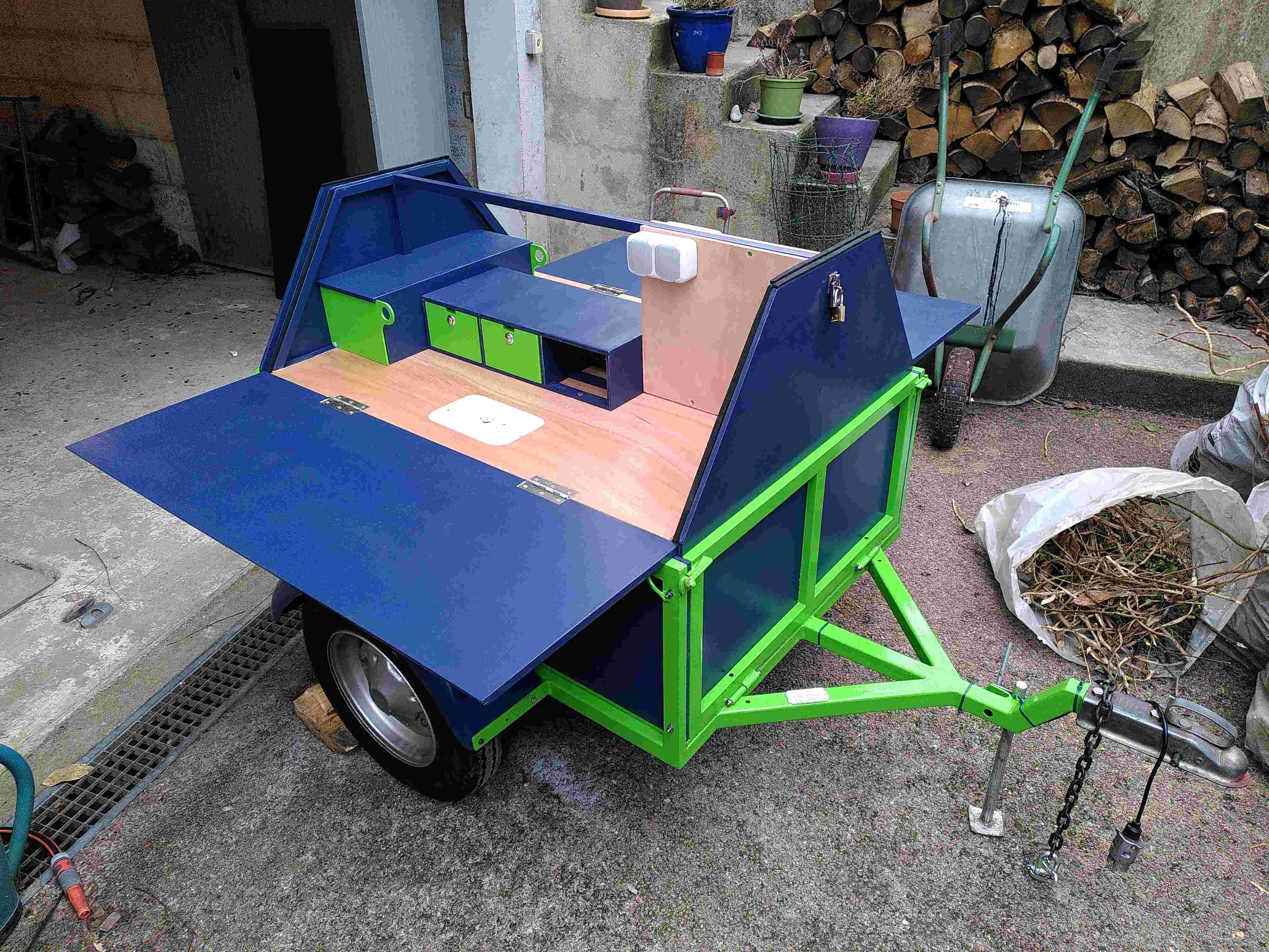
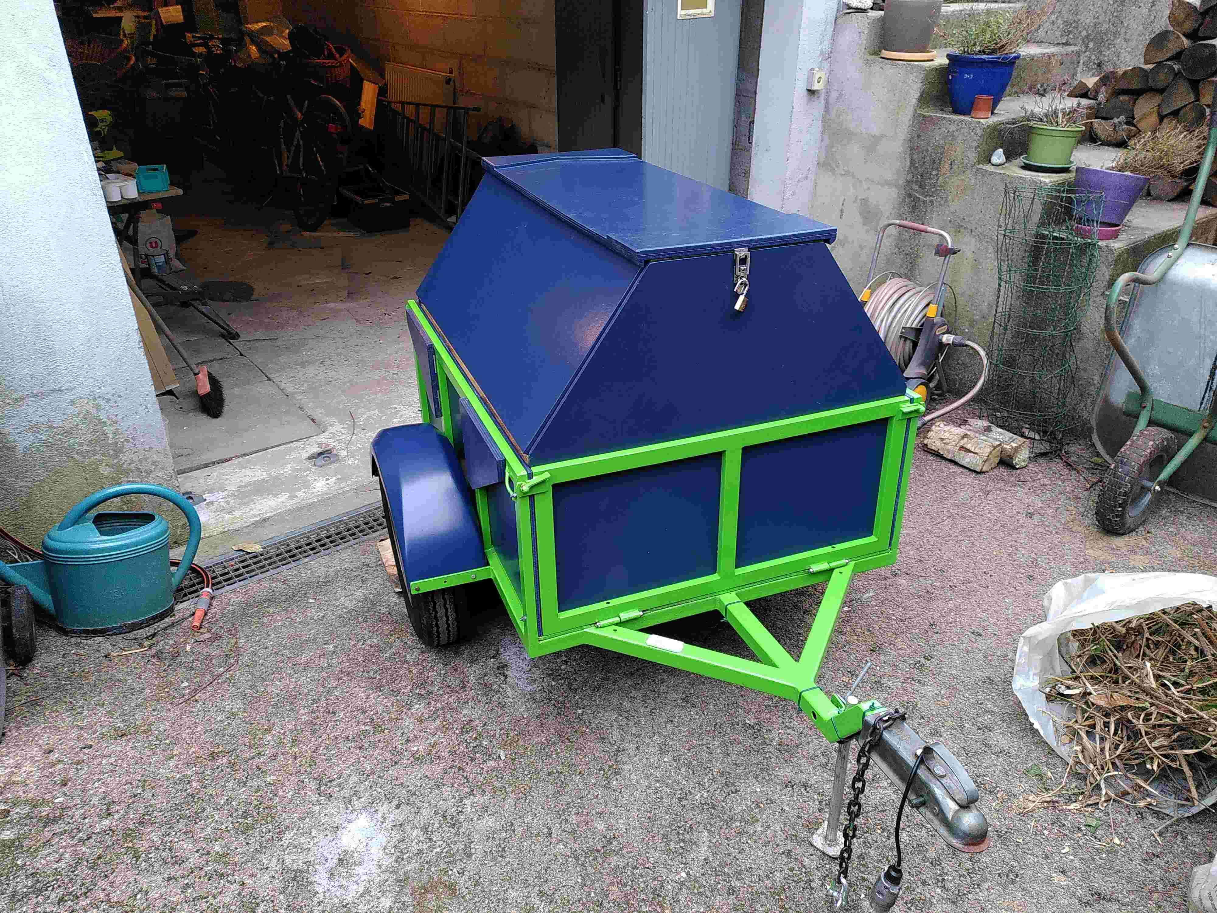
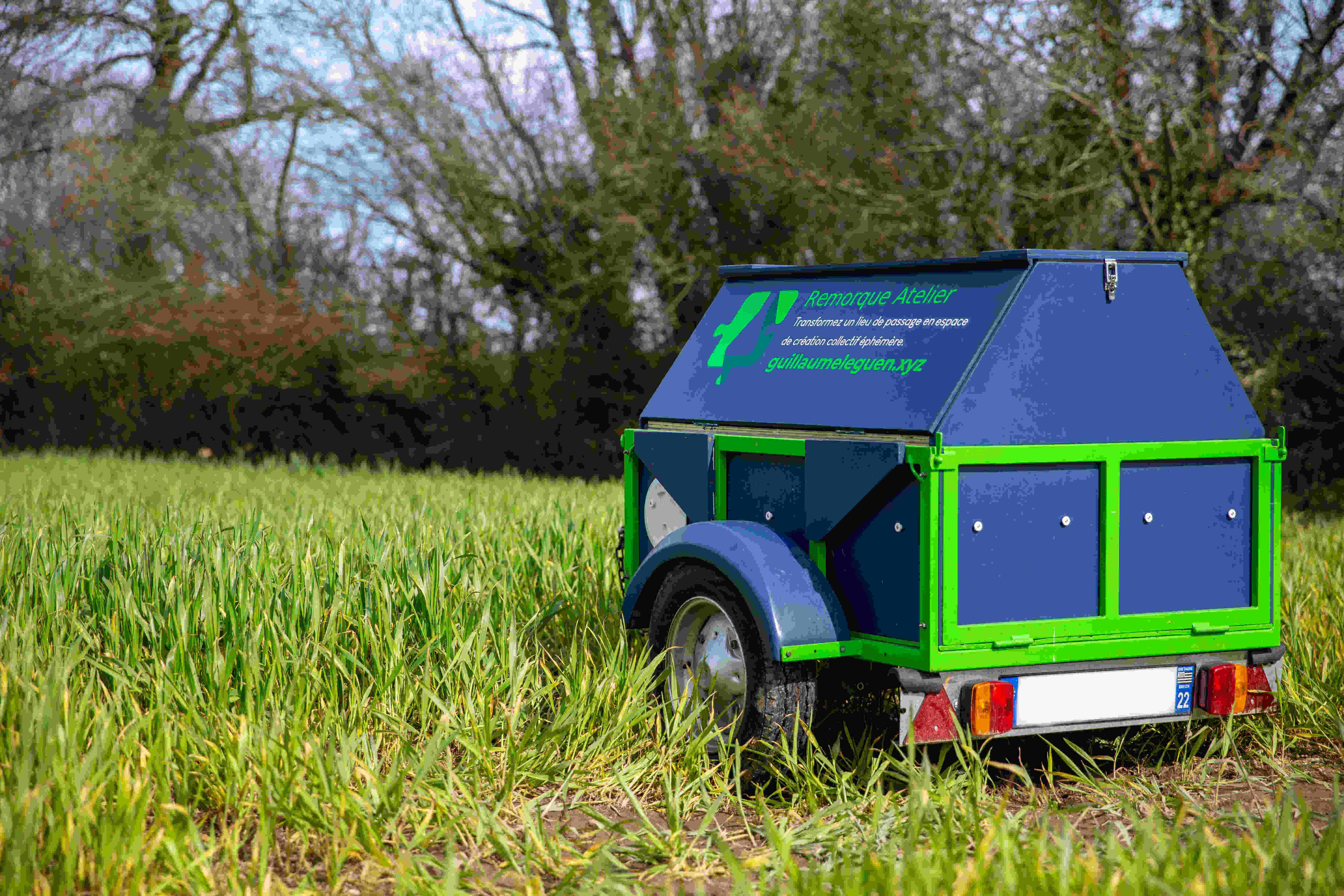
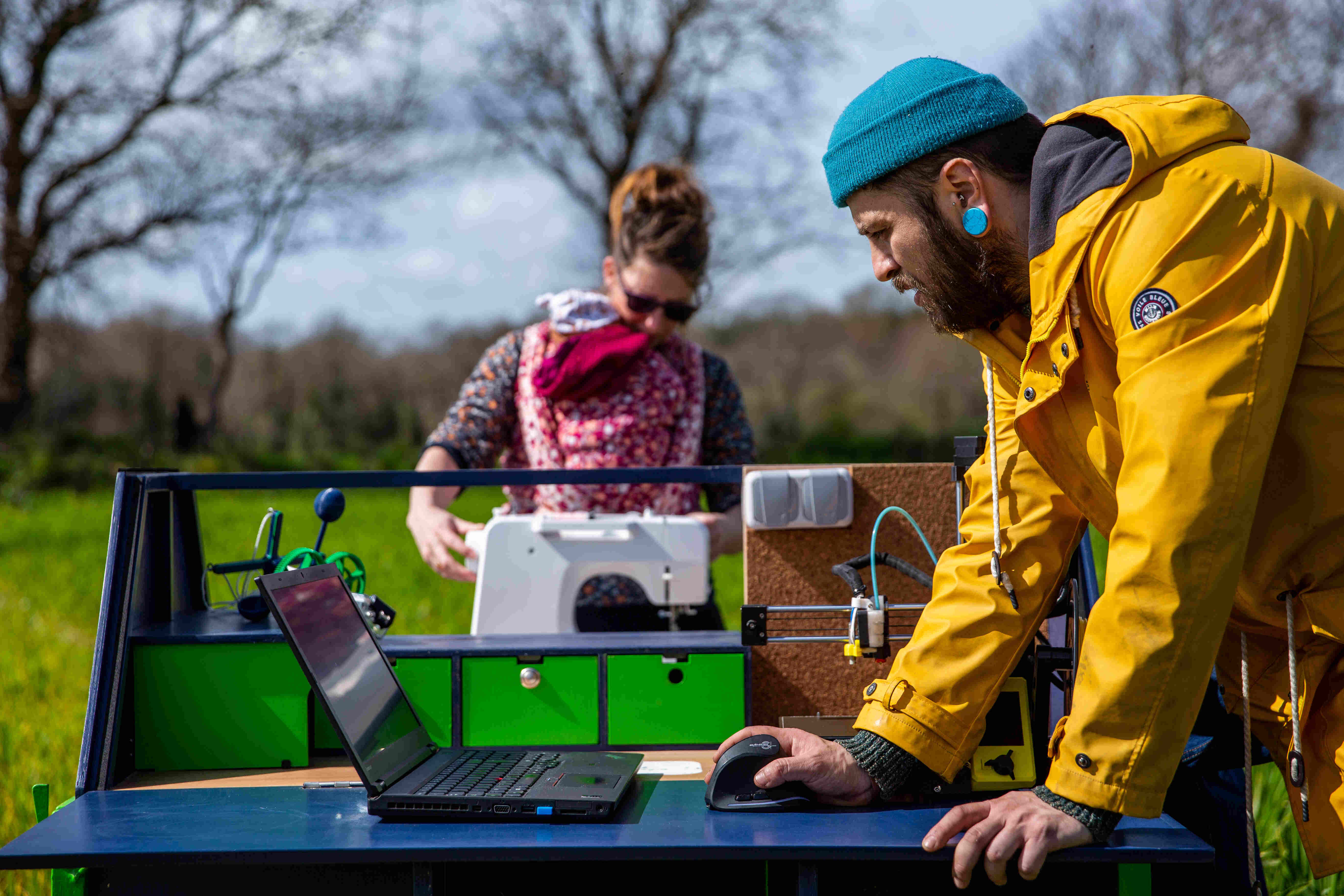
La Remorque Atelier
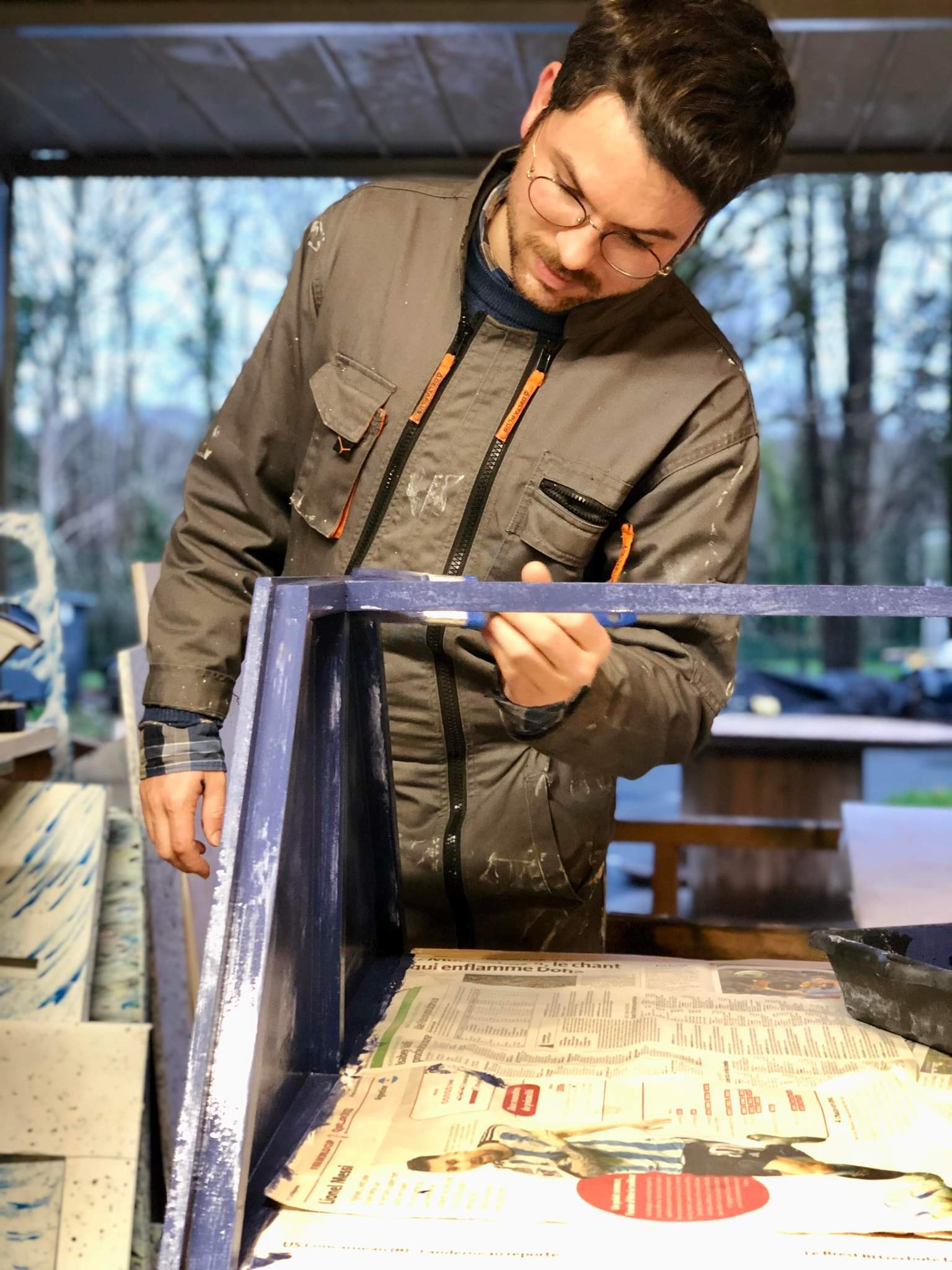
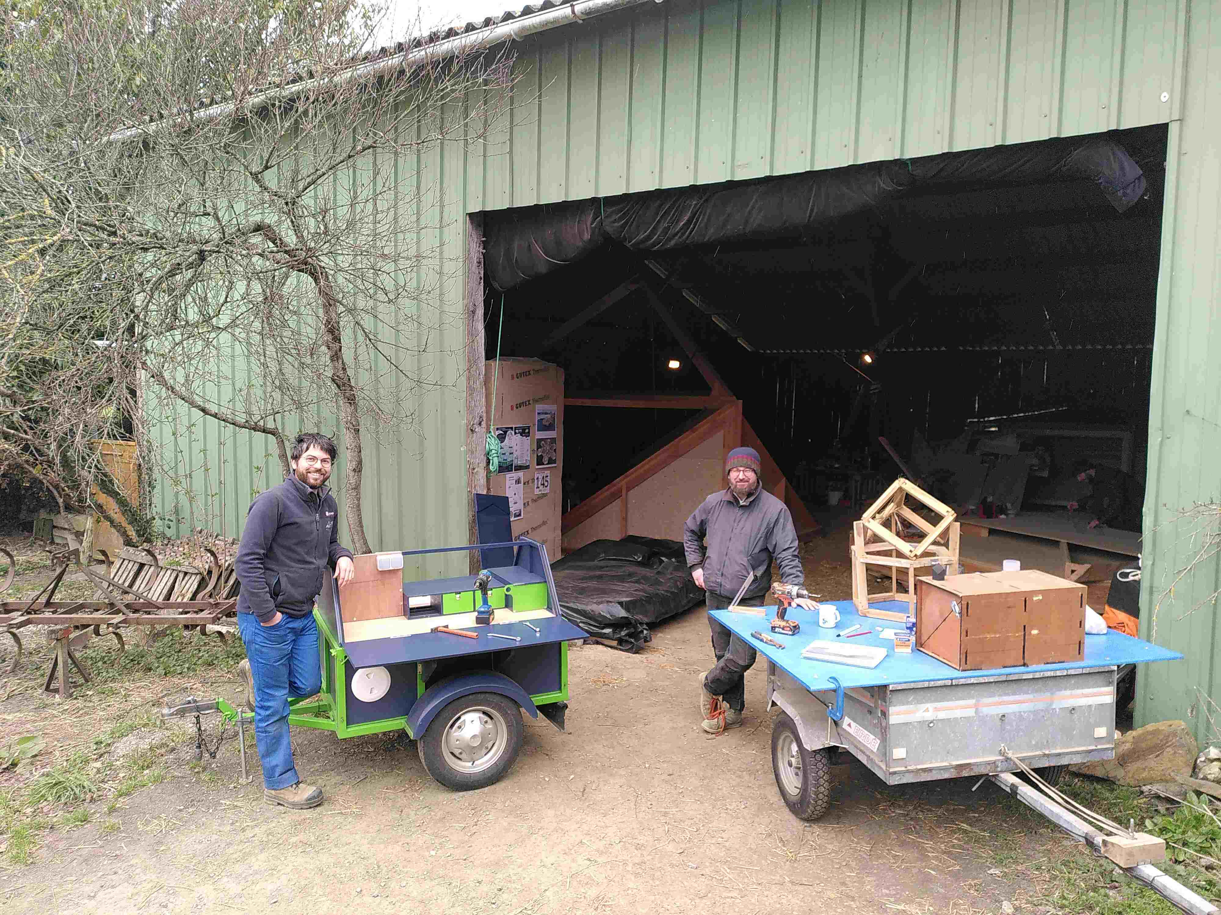
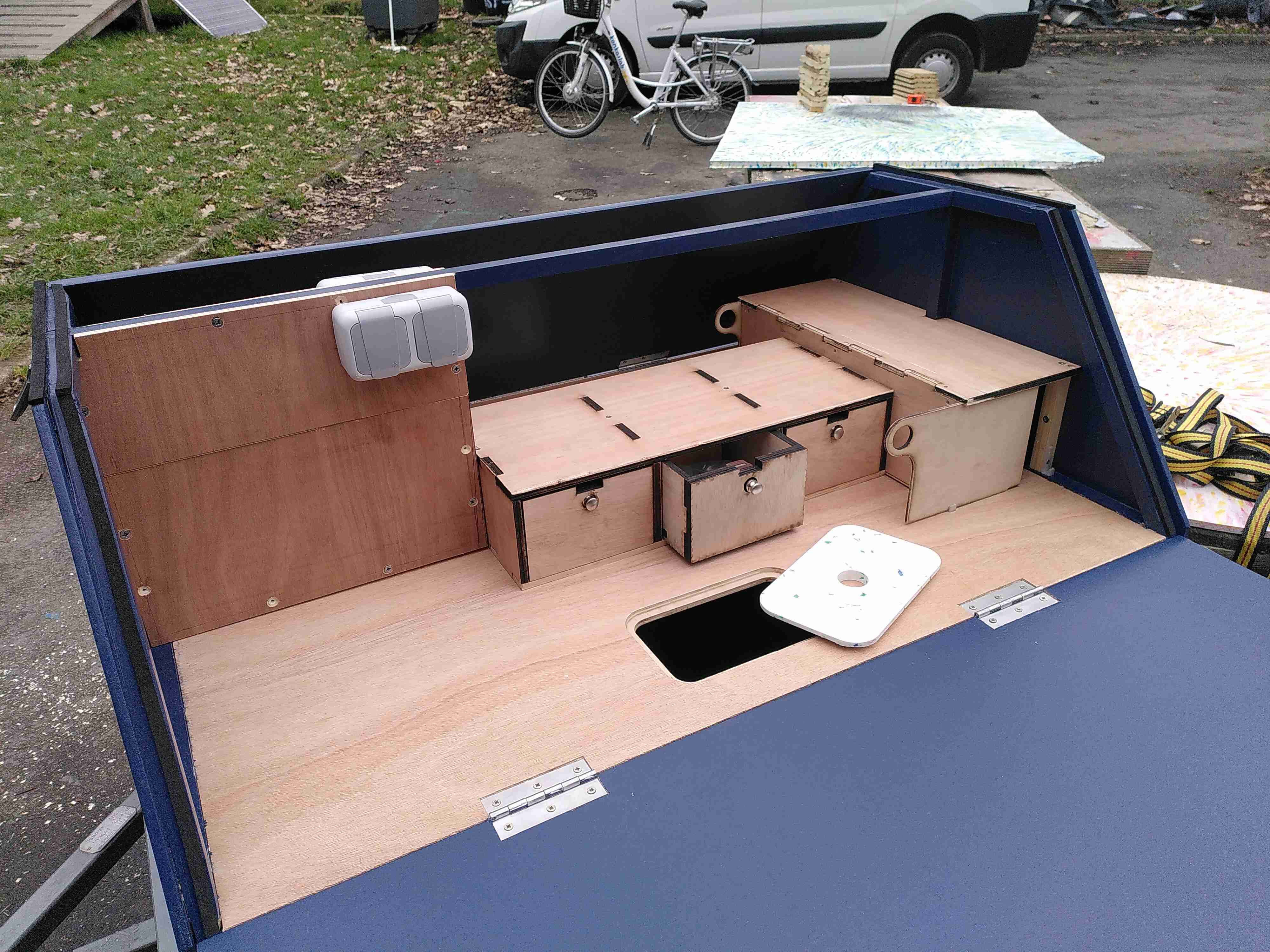
La remorque Atelier est née du besoin de mêler le "faire" à des actions d'éducation à l'environnement. L'atelier mobile se déploie et devient un îlot tout équipé pour prototyper, inventer, innover, fabriquer ensemble.
Au moyen de cette remorque que j'ai moi même conçu et fabriqué, je propose d'animer des ateliers qui répondraient à vos besoins.
De l’émulsion d'idées à la réalisation d'un objet précis, la remorque atelier peut devenir le théâtre de vos projets faisant appel au faire ensemble.
Le Numérique Libre
Les wikis et d'autres outils et plateformes de collaborations, peuvent faciliter vos travaux collectifs. Ces outils libres permettent notamment de ne pas dépendre des GAFAMs et rester maître de ses données numériques. Cependant, il n'est pas simple de les installer ou de s'en servir sans compétences en informatique.
C'est pourquoi, je vous propose des prestations d'administration de plateformes numériques de collaborations, et ou des formations à l'usage d'outils numériques libres de la création à la documentation.
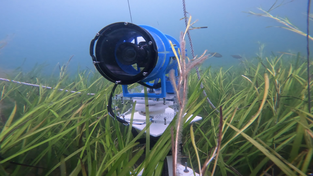
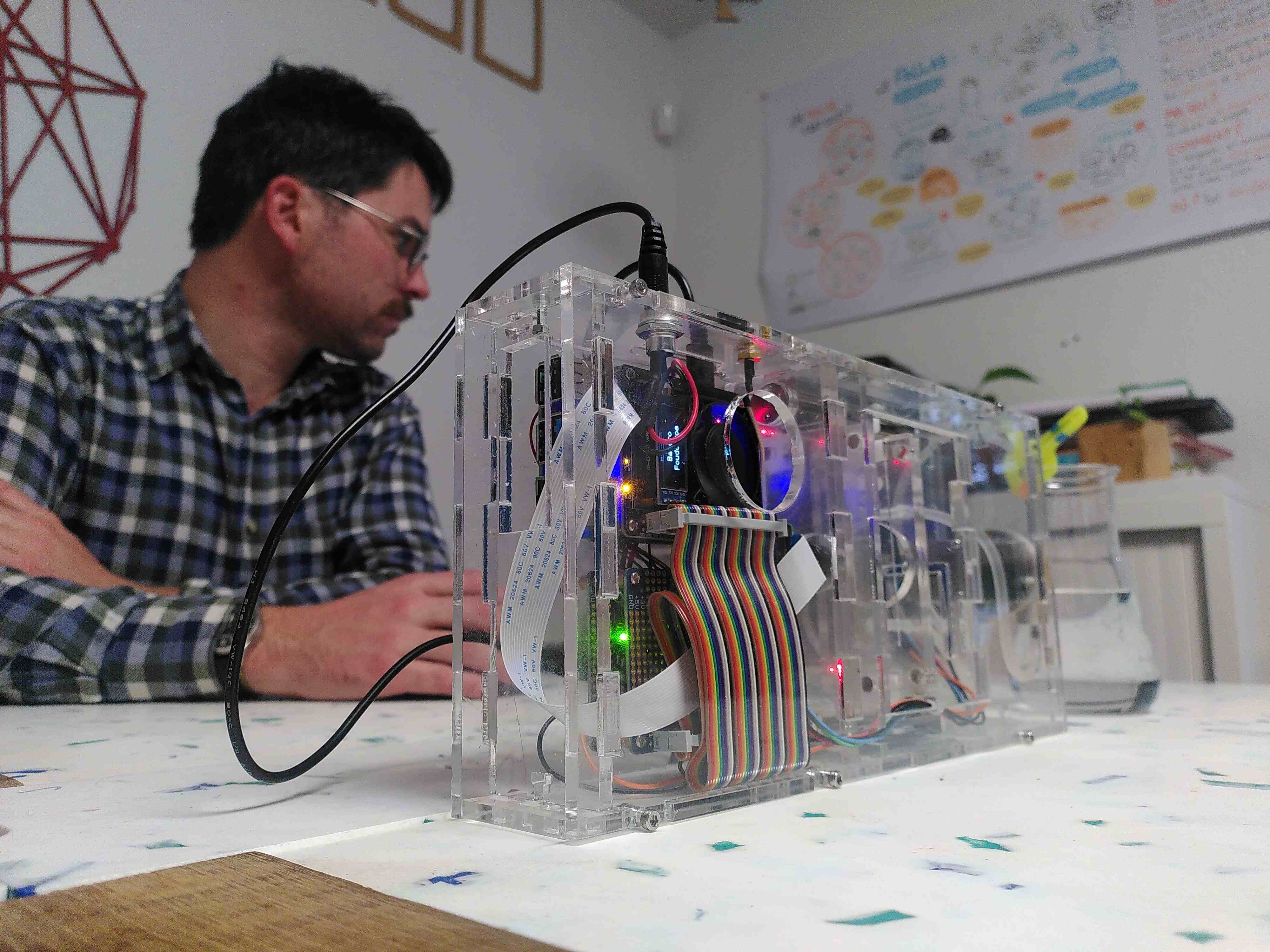
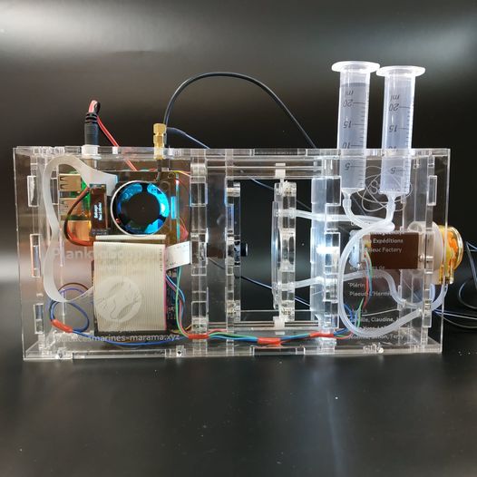
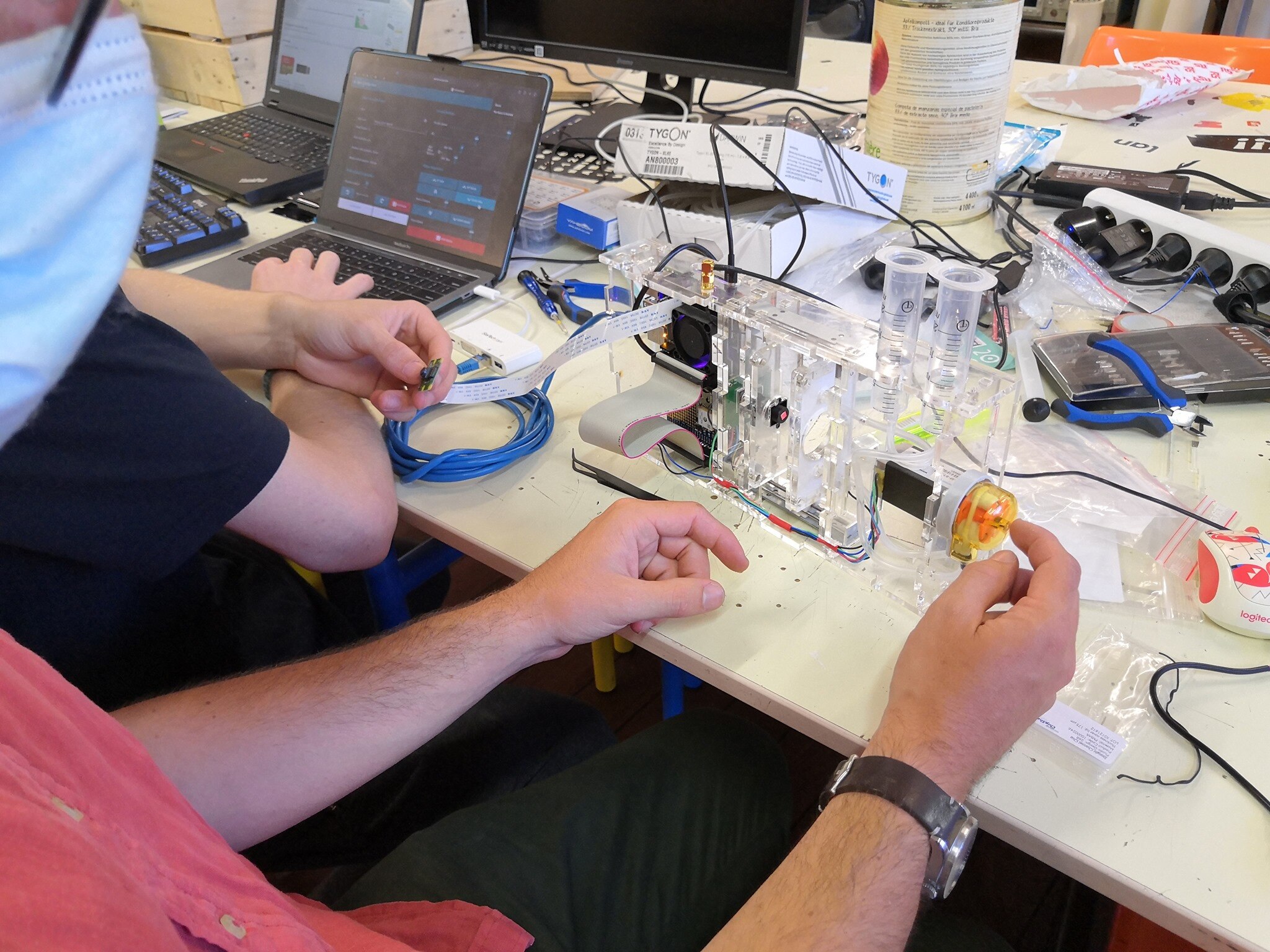
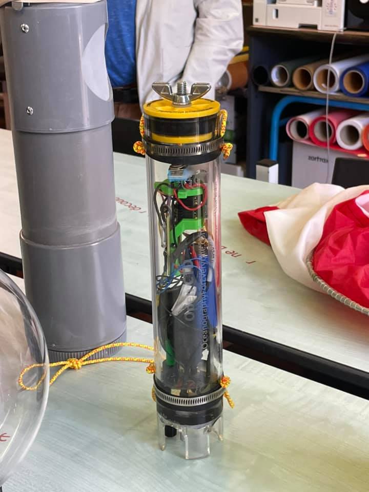
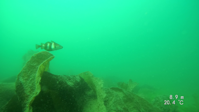
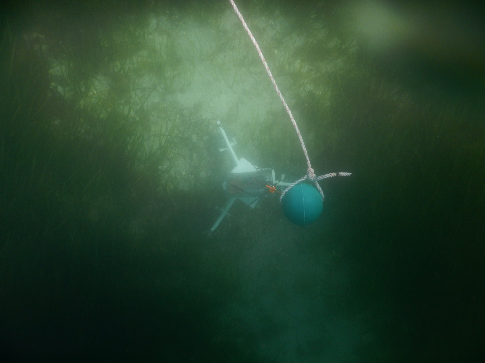
Médiation pour l'environnement marin
Envoyez un équipage navigant autour du monde pour effectuer des observations de l'environnement marin qui donneront matière aux actions d'éducation à l'environnement marin.
Déjà expérimenté avec le Marama, en partenariat avec l'association "Le temps des Sciences" de Saint Brieuc, je propose d'animer et de coordonner les aspects techniques pour reproduire ce type de projet sur votre territoire.
Qui suis-je ?
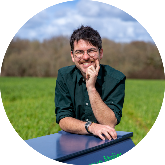
Guillaume Leguen
dit Héron
Daltonien, je n'ai pu réaliser mon rêve qui était de naviguer dans les airs ou sur les mers. Depuis toujours engagé pour l'environnement, je conçois des projets au profit de l'environnement marin. J'appelle dans ces projets parfois la science, l'imaginaire, et le sensible. J'aime mêler la rationalité aux rêves, chercher une échappatoire à la pensée unique. Parti d'une formation scientifique de technicien océanographe, bridé par le cadre que m'imposait la recherche, j'ai bifurqué sur l'éducation à l'environnement qui est tout autant essentielle que la recherche pour repenser nos modes de vies. L'éducateur à l'environnement que je suis, cherche à renverser la posture de savant et faire grandir celle du facilitateur pour faire croître en chacun·e·s de nous les solutions pour demain.

Testimonial

“ Guillaume a assuré la formation des marins à l'utilisation d'outils d'observations. Il a conçu et animé les séquences pédagogiques d'observation et d'analyse des données auprès de 10 classes de l'agglomération briochine. Son travail de coordinateur technique, scientifique et pédagogique a été possible grâce à sa grande poylvalence, à sa capacité à trouver des solutions à des problèmes techniques, à rassembler une population hétérogène autour d'un projet collectif, à concevoir des ateliers scientifiques de qualité aux écoles. Un grand bravo à lui, je recommande ! ”

“ Guillaume est à la fois un catalyseur, un animateur, et un acteur de la conception et de la réalisation technique du projet. Ses compétences techniques variées, sa curiosité, ses qualités humaines, son intelligence relationnelle sont une clé importante de la réussite de projets. ”